Building Field Conditions: A Free Wildfire, Smoke, and Air Quality Map
A smoky morning in Madison and the free, no account needed conditions map I built for the community
By George Bull ·
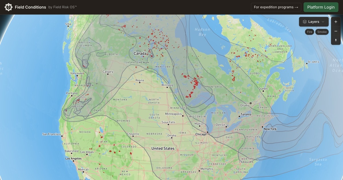
A few weeks ago, I woke up to the unmistakable smell of wildfire smoke. I was in my apartment in Madison, Wisconsin. The fires I was (and still am) smelling are burning hundreds of miles away in Northern MN and across Canada.
I know the smell of wildfire smoke well. I spent several summers working for an outdoor program in Wyoming, and have been close enough to wildfires to watch flames glow on the horizon and ash fall out of the sky. This was my first experience of smoke in an urban area, though, and it's jarring in a different way. When I opened my blinds, the haze was so thick I could barely make out Lake Monona, a couple of blocks away.
These days Field Risk OS, the platform I am building for expedition programs, is often on my mind, and that morning's smoke made me realize something: I needed to add wildfire layers to the map inside it.
I thought of a summer when a fire got too close for comfort to our camp in Wyoming. I started and ended every day checking several websites for the latest hotspots, perimeters, smoke, and AQI forecasts. At one point we were dusting off our emergency action plans, ready to evacuate at a moment's notice.
So I hopped online and I started adding layers: fire perimeters, satellite hotspots, smoke, air quality. As I hunted down sources, I realized I was putting together something I had always wanted as an outdoor leader and program manager. One map with all the data, including the US and Canada, in one place. And then I kept adding layers, like drought, river levels, and more.
As the map came together, I realized this tool would be useful for the community at large, not just professional outdoor programs. Watching teams closer to home in Minnesota work through this year's fire season, and after a conversation with a national director of risk management who described her own daily slog checking a dozen different sources, I decided to release this map to the public, for free, with no account needed.
I am calling it Field Conditions, and it is live at fieldriskos.com/map/live.
Available Data
- Wildfire perimeters for the US and Canada
- Satellite fire hotspots, last 24 hours or 7 days
- Wildfire smoke plumes
- Air quality, current and tomorrow's forecast
- Red flag warnings and fire weather outlooks
- Drought
- River gauges and mountain snowpack
- Live radar, satellite, and storm warnings
Please use it, and let me know what you think. If there is a layer or a feature you want to see, tell me.
Quick disclaimer: Field Conditions shows you what the public agencies are reporting. It does not warn you, it is only as current as those feeds, and it is not a replacement for your own judgment. In an emergency, call 911 and follow the directions of your local authorities.
And of course, if you run an expedition program, take a look at the full Field Risk OS feature set. It is the tool I always wished I had as an outdoor program manager.
Field Risk OS is a documentation and workflow software for outdoor expedition programs.
Common Questions
Is there a free wildfire smoke and air quality map?
What is Field Conditions?
Where does Field Conditions get its data?
Is Field Conditions an emergency alert service?
Keep Reading
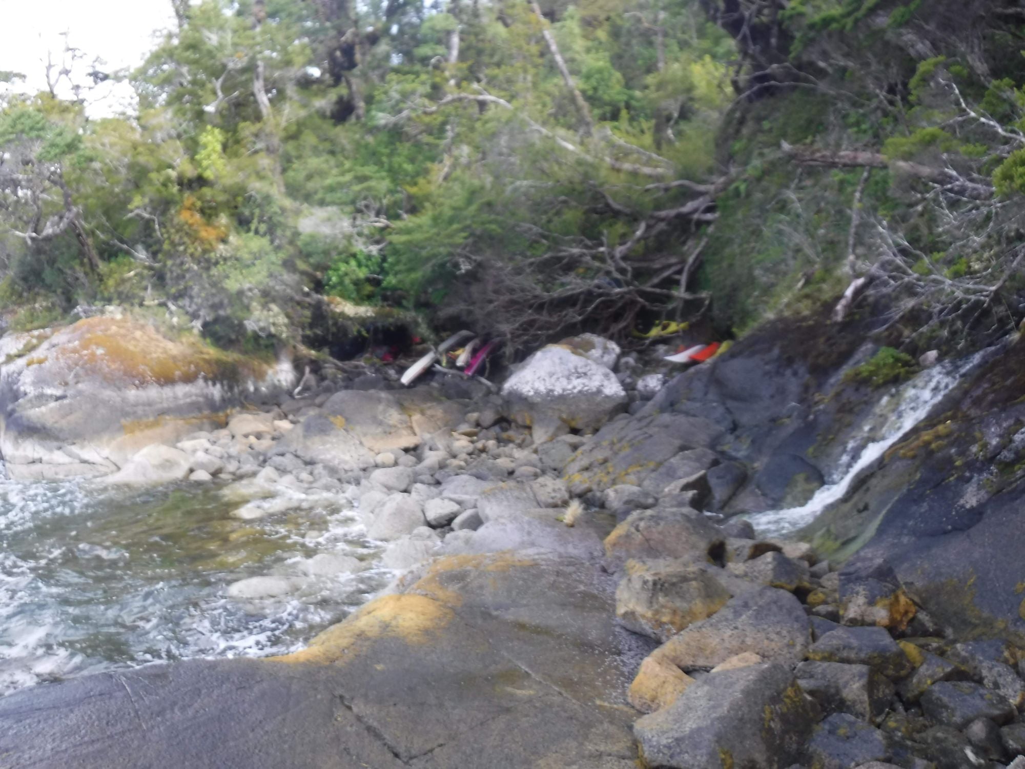
"Make Soup": Designing an Incident Reporting System for Outdoor Programs
A storm in Patagonia and the story, research, and philosophy behind incident reporting in Field Risk OS.
Read more →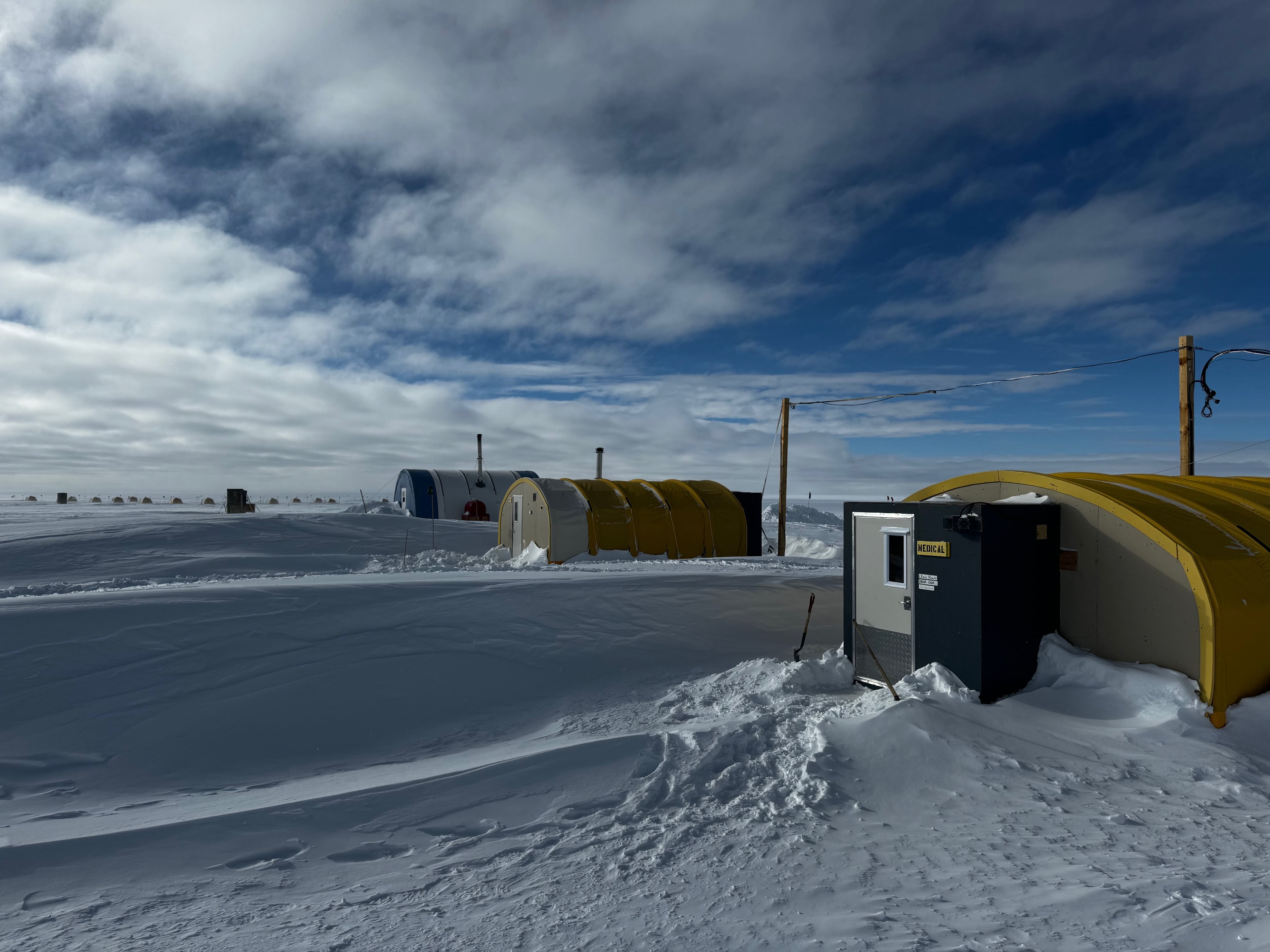
ICS Form 201: A Shared, Scalable Incident Briefing for Outdoor Programs
What an Incident Command System refresher and a summer camp tabletop exercise reminded me about shared, scalable systems, and why FEMA's Incident Briefing form is a tool any outdoor program can pick up tomorrow.
Read more →Subscribe to the Newsletter
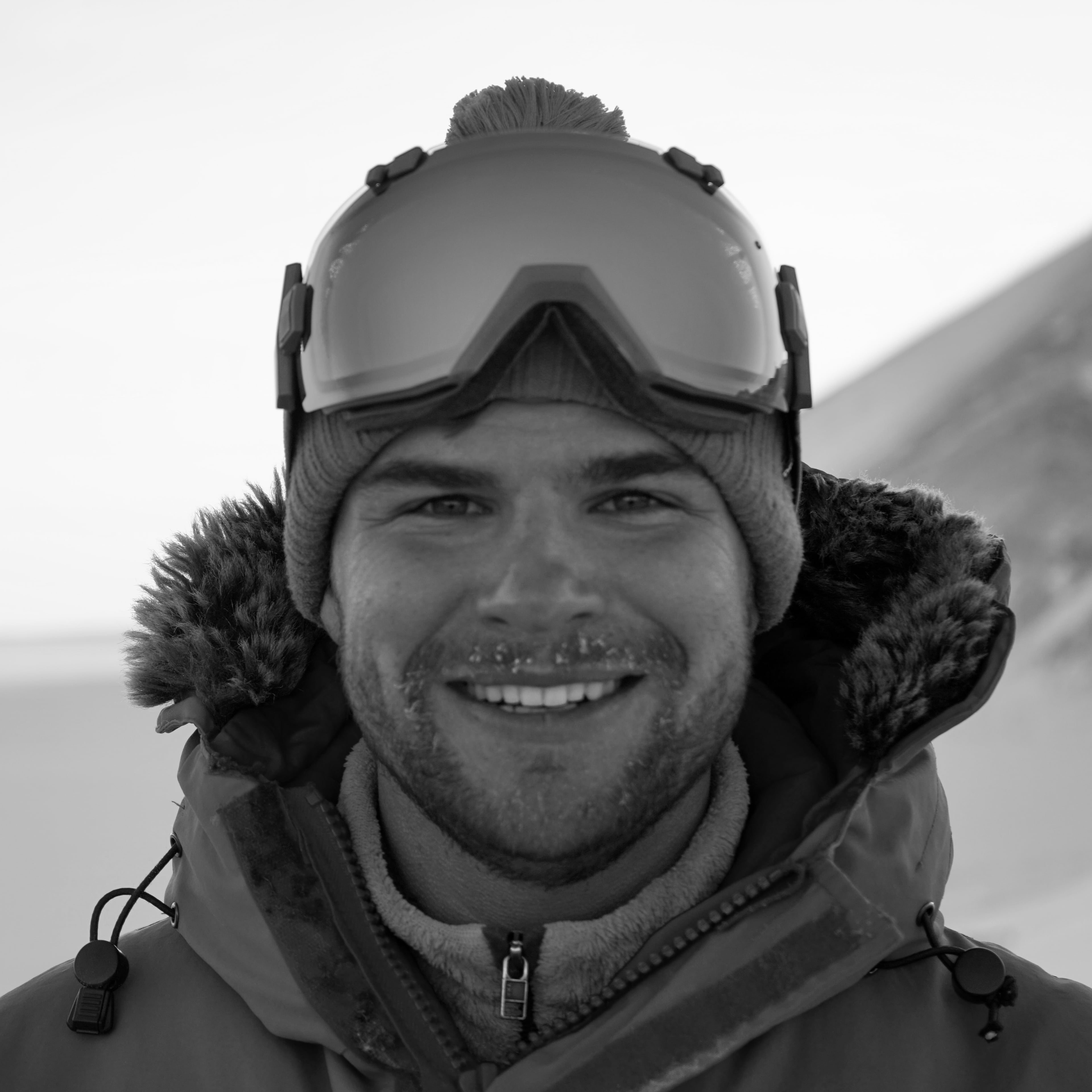
Founder, Field Risk Systems LLC
George is the founder of Field Risk Systems and the creator of Field Risk OS, an operating system for expedition programs. He has worked as a trip leader and program manager for backcountry expedition programs, as a field coordinator with the US Antarctic Program, and as a commercial guide in Alaska.